One of the first things I bought when I moved to York was a street map. Never mind that we have google maps, or that I would eventually live here long enough to not really need a map – my soul needed the map, I suppose. The same goes for Victoria: one of my favourite Christmas presents one year was a book of maps covering Victoria and the surrounding area; my previous one was sadly out of date because of the rapid pace of building that goes on in parts of the city, with new roads appearing everywhere.
The last two posts talked about how I love to admire/judge road names on a map, and how I wonder what familiar places will have looked like centuries ago. This post combines both of those interests, by looking at some of the more obscure odonyms (street names) in York.
I learned early on that in York, all the streets are called gates and all the gates are called bars and all the bars are called pubs. The ‘-gate’ streets are fascinating, and with ‘-gate’ coming from the Old Norse for ‘street’, they are a lasting imprint of Viking culture on the city, but there is quite a lot out there already about them, so I’m not going to focus on the better-known roads here.
The street names of York tend to fall into a few particular categories: the trades which were carried on in them (Coppergate, where the wooden cup-makers lived, or the Shambles, after the name for the butchers’ benches where meat was sold in that street); saints (Gillygate, and, of course, anything with ‘Peter’ or ‘crossed keys’ in the name, because York Minster is dedicated to St Peter) or individual people; the local geography (Fossgate, going over the river Foss), or even their size and significance (Micklegate, an especially long, large, street, lives up to its name). These names tend to make sense; with the exception, perhaps, of Coppergate, which has nothing to do with copper, it’s often fairly obvious why many streets were named the way they were.
The meaning of some street names are not immediately obvious; to take but one example, Blossom Street has nothing to do with flowers, but was once called Ploxwaingate, or plough swain street, named for one who repairs plows. Over the centuries this was corrupted into ‘blossom’.
Some street names are more misleading, such as Grape Lane, off of Petergate. You might be thinking grapes…wine…wine-making, which is an entirely understandable guess, but this street actually contained a number of brothels, and ‘Grape’ Lane would become the censored way of referring to Grope-c*** Lane.
With the exception of places like Parliament Street or Picadilly, which are Victorian constructions, or Hungate, which has been significantly developed in recent years, many of the streets within the city walls have been there, in the same place and with the same name, for centuries.
But this is not always the case! Sometimes streets were renamed, or rebuilt, and it is these streets that I am interested in here, focussing on three examples from different parts of the city.
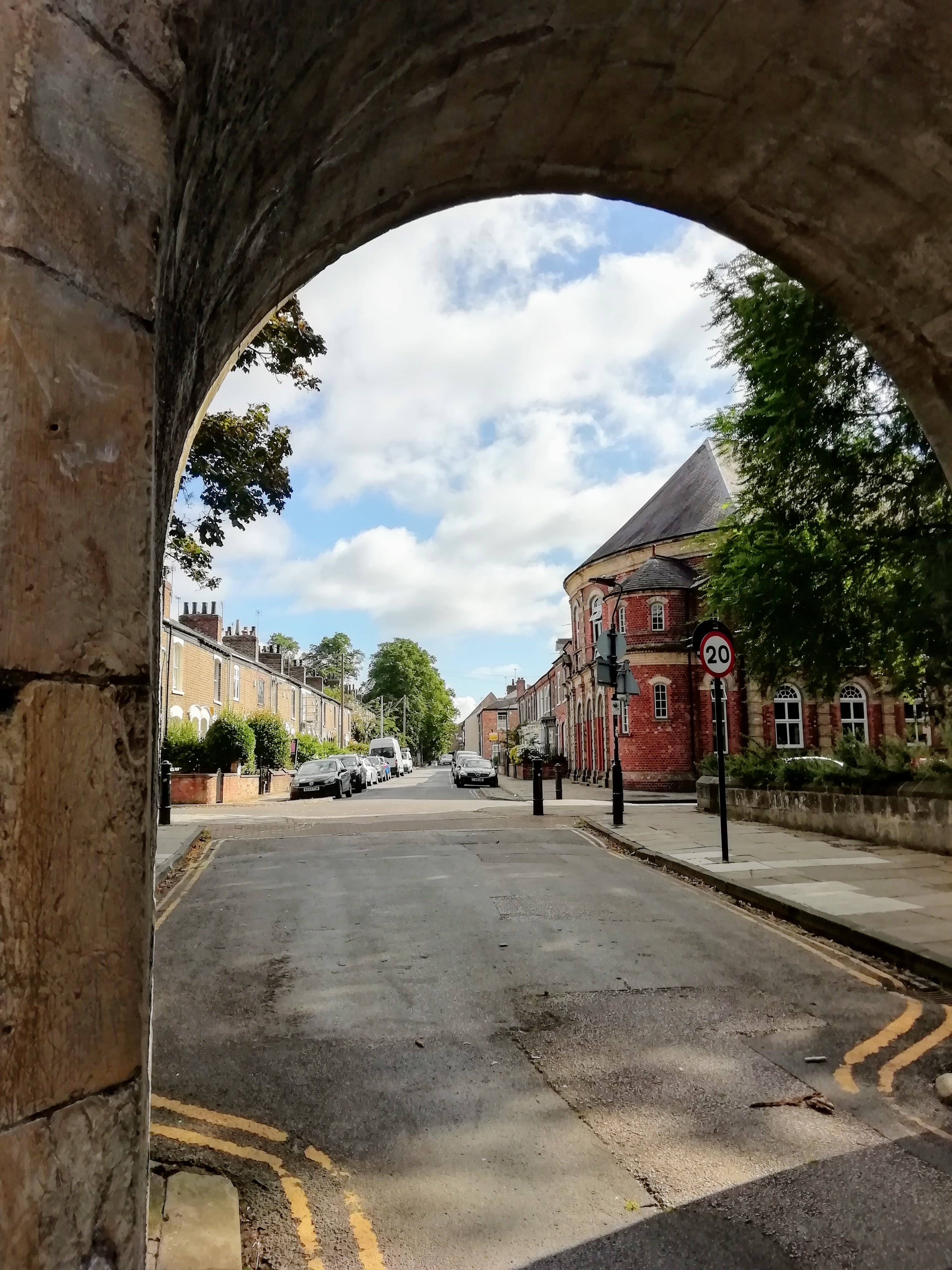
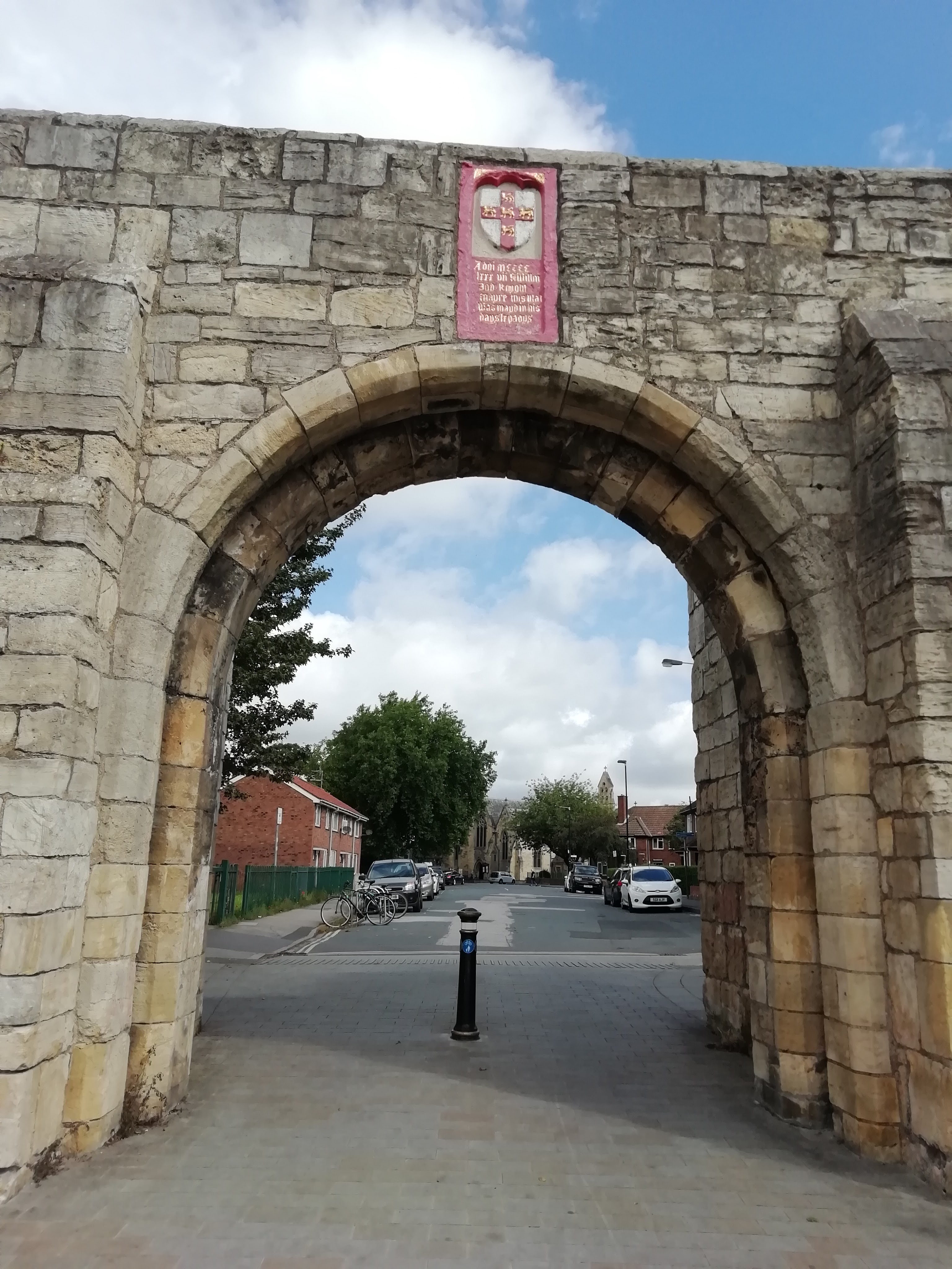
If you were hanging around the church of St Mary Bishophill Senior (see the previous post, ‘Churches, Vanished and Decayed’, for more on that) at some point during the medieval period, you might go down a street called Lounlithgate. This was roughly where the present day Victor Street is, around the corner from Micklegate Bar at Victoria Bar; it may have extended down to Skeldergate along the present-day Carr Lane (or Kirk Lane, as it was known from the thirteenth century). The name is said to be of Old Norse derivation, referring to a sheltered gateway, and there was a small gate in the walls where Victoria Bar is now. It was bricked up in the seventeenth century, but re-opened in 1838, officially becoming Victoria Bar two years later. Lounlithgate was later called St Mary’s Row, after the church nearby, and the seventeenth-century rectory still stands today; it seems to have become Victor Street sometime between 1852 and 1907, judging by the OS maps. Not just Lounlithgate, but a few of the other streets in this area had different names during the earlier middle ages: the street now known as St Mary Bishophill Senior used to be Littlegate, and Lower Priory Street just within the walls was called Besingate – even the area, Bishophill, was spelled ‘Bichill’ or ‘Bychehill’.
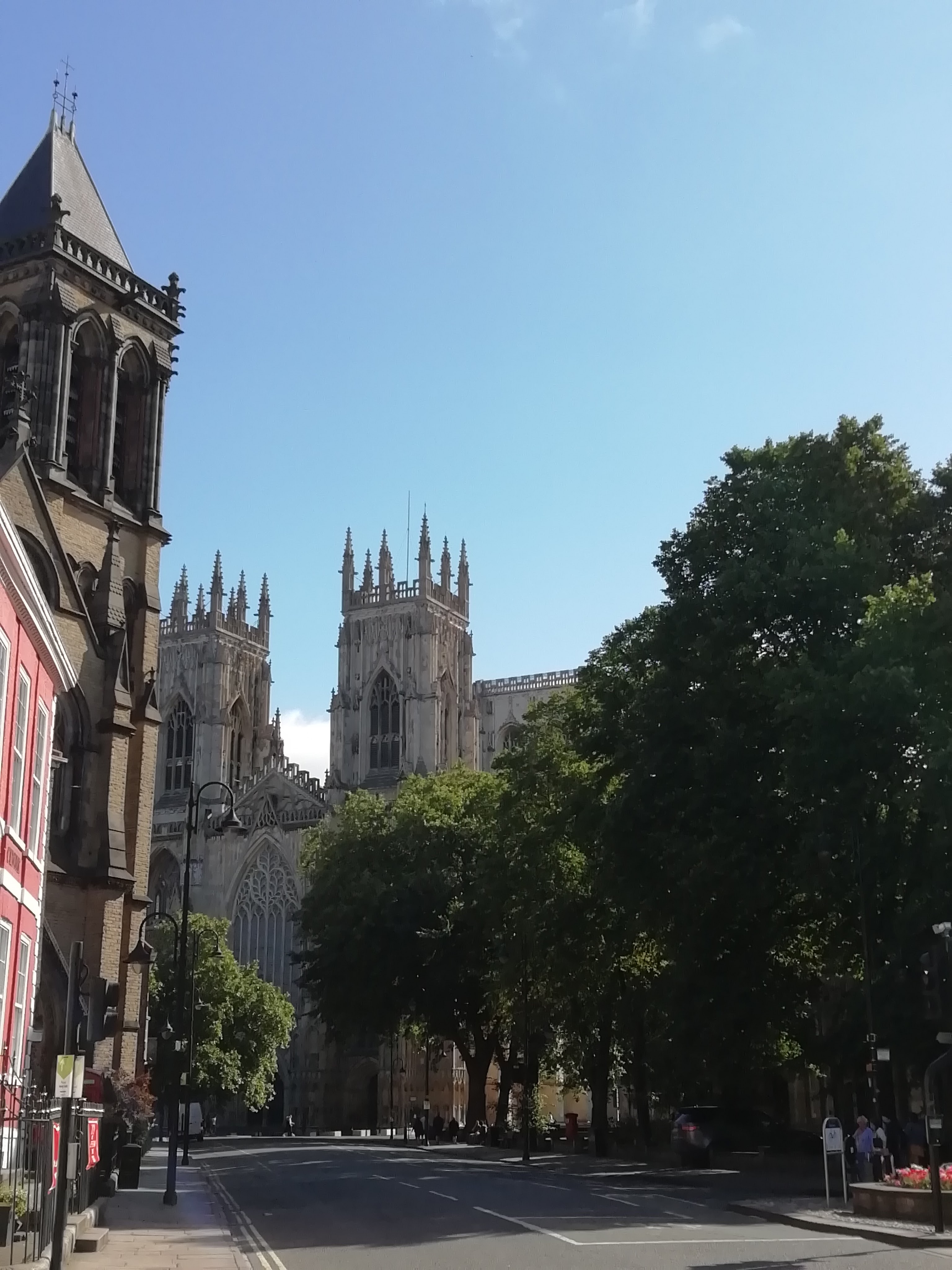
One famous view of York Minster is looking down Duncombe Place, which leads to the west doors of the Minster. Until the 1860s, however, one would not have had quite this view. Instead, you would look down a narrow little street called alternately Little Blake Street, or Narrow Lop Lane. There was a gate at the Minster end of this road as well, which stood until the 1820s. The name ‘lop’ seems to have come from the Old English for ‘flea’ – do fleas spread in narrow little streets? Anyway, in the 1860s, the street was widened, and named in honour of the Dean of York, Augustus Duncombe.
There is a very early photograph of the view down Lop Lane from 1845, as well as a series of photos, from the late 1850s and 1860s, showing the before, during, and after of turning Narrow Lop Lane into Duncombe Place. There is something I can’t quite describe about early photos; they have that same how-it-was immediacy as a surviving object or building, they are a familiarly modern window onto something old, and when they show a familiar-yet-different place like a well-known York street as it used to look, they are even more exciting.
I will leave you with one final road name: Neutgate. I was intrigued when I learned about this, probably because it sounded like ‘newt-gate’ and living in a road named after newts sounded pretty great. But where was it? It was near Fishergate Bar, and there was a hospital (read: almshouse) and meeting place for York’s haberdashers’ guild in Neutgate in the early seventeenth century. The almshouse was Sir Robert Watter’s Hospital, and he spelled the road Nowtegate, which sadly sounds far less newt-like. The name apparently actually has to do with cattle, because there was a cattle market in the area. Neutgate, also Nowtegate, also Noutegate, also Neut Lane, also Neut-Gate Lane (hurrah for pre-modern non-standard spelling!) still exists, but it is now called George Street (it’s the street where Dick Turpin’s grave is, running between the site of the old St George’s church and the new St George’s church, hence the new name).
There are many more street names and neighbourhoods we could explore, so we may have to have a part two of York’s roads. But for the next post, we’re going to keep going with the place-name theme, but we’re moving elsewhere: join me next time as we explore some of the place names in Victoria, B.C….
Further Reading
For more about the Lounlithgate area https://www.york.gov.uk/downloads/file/4248/syo899-victor-street-lower-priory-street-wb and The Archaeology of York, vol 8: Anglo-Scandinavian York, ‘Anglo-Scandinavian Settlement South-west of the Ouse’ by Joan Moulden and Dominic Tweddle, York Archeological Trust, 1986.
For the photos of Lop Lane’s transformation:
This is the 1845 image mentioned above, of Narrow Lop Lane as it was: https://www.nga.gov/collection/art-object-page.153418.html
It’s the York Press again, but if you go to the Explore York Images site the pictures all have distracting watermarks on them, and these don’t: https://www.yorkpress.co.uk/news/15286727.the-making-of-duncombe-place-7-great-old-photos/ (Explore York’s catalogue of images is interesting though: https://images.exploreyork.org.uk/respages/Search.aspx?stype=2&sword=lop%20lane&filefilter= )
My favourite ‘Map of York, 1852’: https://yorkmaps.net/1852/#19/53.9618893/-1.0843868 (the hospital in Neutgate is marked on the map, Victor Street is still called St Mary’s Row, and Duncombe Place is still called Little Blake Street. You can view the map with the modern-day roads superimposed as well, which can be quite useful. See if you can spot other street names that have changed over time…)
