I love maps. I particularly love maps if they are of a city I know well (so I love a good map of Victoria BC, or York). I like to look at the roads in rural areas, wondering if they really feel as remote in person as they look on paper, and I love to look at the city streets, admiring/judging their names and wondering what they look like. Every time I walk down a road for the first time, I mark it down on my city map. I will actually go on walks just to get a feel for a road I’ve seen on the map.
Recently I came across an old map of York, from 1852. It was great – you could see the sites of old churches, landmarks that give current streets their names, and all kinds of fascinating things.
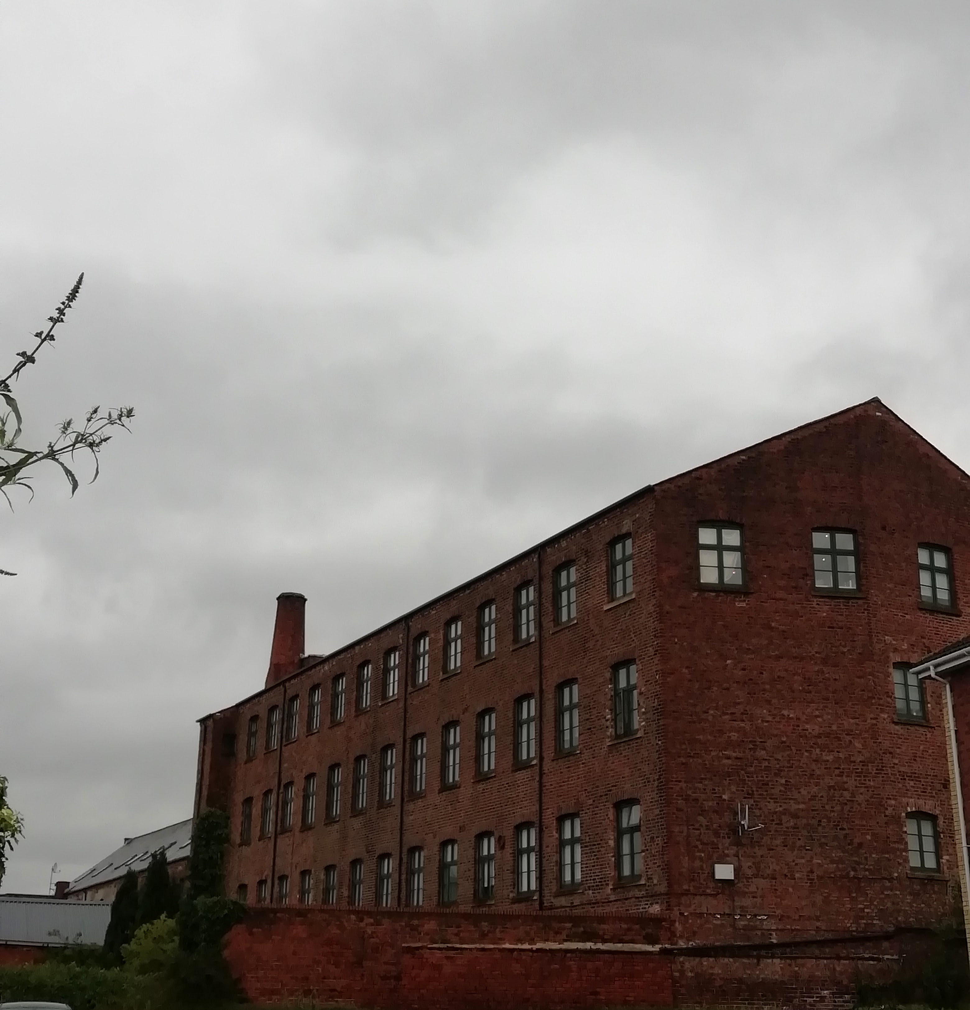
I live in a place called The Tannery. One would think, with such a name, that there would have been a tannery on this site at one point. Yet looking on this magnificent old map, there was no tannery to be seen. Instead there was a flax mill, a reservoir, and ‘the remains of an ancient edifice’. I had to know more! I ended up learning some very interesting things about my immediate neighbourhood, most notably that I live opposite a flax mill.
I have in fact lived for several years opposite a flax mill and had never realised until now that that’s what the building was. From the first decade of the nineteenth century until around 1872, the Lawrence Street Flax Mill stood just outside Walmgate Bar. Here, flax was spun and woven to make linen. After that it was a warehouse, then it was occupied by a comb maker, and then in 1901 it was bought by W D Mark & Sons, sellers of hide and tallow. Is this why it’s called The Tannery today? It’s the only tanning-related link I can see. I’m also not sure how long this business operated: knowing this would definitely fill in a lot of gaps in my knowledge. The flax mill building itself was examined by York Archaeological Trust in 2001, when this Grade II-listed building was being turned into flats, and their report of the excavation was extremely informative about the history of the site.
Further down the road (Lawrence Street, if you know York, roughly where it turns into Hull Road), the 1852 map shows an actual tannery, called the Plantation Tannery. Today it is a garage and student accommodation, but judging from the map it looks like it was once quite a substantial tanning site. Why not name the student accommodation The Tannery? Why don’t I live in ‘Flax Mill Court’? I still have so many questions about this. The libraries and archives are starting to open up now though, so perhaps I will be able to fill in those gaps.
I have yet to find out what the ‘ancient edifice’ was, but I did learn two other things about my neighbourhood from this mmap: they used to make rope nearby, and there was a school across the road from my house.
Behind me, to the south of The Tannery and St Lawrence’s church (approximately where Barbican Mews and Wellington Street are currently) there used to be a ‘Rope Walk’, or, a stretch of ground where lengths of cord were laid out before being twisted together to make rope. If you go to other towns and cities, street names or neighbourhood names like ‘Rope Walk’ or ‘Ropery’ indicate that rope-making was carried out there.
Across the road from me, near the Rose and Crown Pub, there was a school, Dodsworth’s Free School, where poor children, both boys and girls, were taught to read and write between 1798 and c. 1865. The school had about 20 students at a time, all from the parishes in the Walmgate/Lawrence Street area, and was one of three schools in York founded by John Dodsworth, an ironmonger. The other two were in Friargate and St Mary Bishophill Junior. This was quite standard in England from the late middle ages up until the early nineteenth century: if there was a school in the area, be it a grammar school or a reading and writing school, there is a good chance that a private individual endowed it for the good of the local area. The history of education is my most favourite kind of history, so to learn that there was a school operating near where I live was all very exciting. I promise there will be some posts about old schools later on…
What used to be located in your neighbourhood? Street names can often be good clues, and old maps are, as I have learned, an excellent starting point as well.
Further Reading:
Map of York, 1852 https://yorkmaps.net/1852/#17/53.9622/-1.0821
National Library of Scotland, Ordnance Survey Maps https://maps.nls.uk/geo/find/#zoom=6&lat=53.39954&lon=-3.03050&layers=102&b=1&z=1&point=0,0
On the flax mill and The Tannery buildings: York Archaeological Trust, 2001 Field Report Number 38.
On Dodsworth’s Schools: https://www.british-history.ac.uk/vch/yorks/city-of-york/pp440-460